Attractions
-
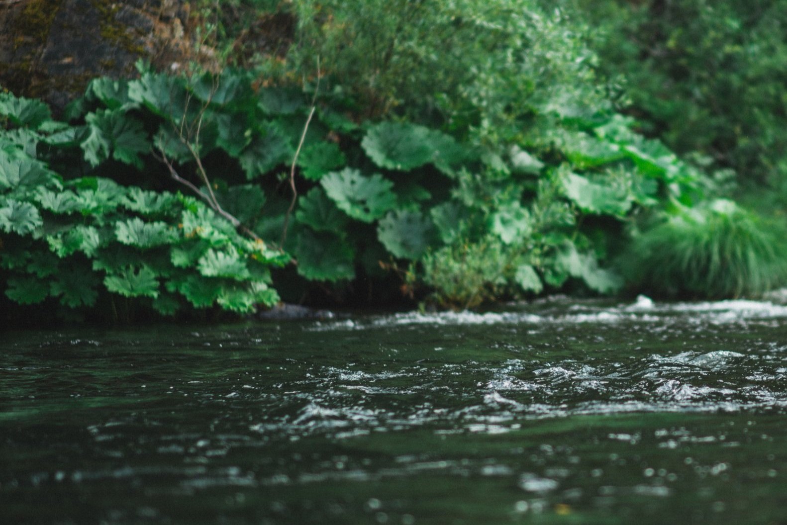
![Man is fly fishing in the Sacramento River]()
Fishing
Catch and release fly fishing on the Upper Sac in Dunsmuir, Northern California
Avid fishermen from all over the West Coast come here to fish the Upper Sacramento River,a 35-mile freestone stream running between Lake Siskiyou and Shasta Lake.
Any time of the year, you’ll enjoy fishing in one of the most scenic freshwater streams on the West Coast.
-
![Man is making a golf putt in front of Mt. Shasta on the golf course.]()
Golfing
Awe-inspiring vistas form the backdrop for golfers in Siskiyou County. Visitors to Dunsmuir have four golf courses to choose from — all within a quick drive from town.
Mt. Shasta Resort — 530.926.3052
McCloud Golf Club — 530.964.2535
Lake Shastina Golf & Country Club — 530.938.3201
Weed Golf Club — 530.938.9971
-
![Hedge Creek Falls waterfall is streaming over a rocky face creating a rainbow spray.]()
Waterfalls
Mossbrae Falls
One of the more scenic waterfalls in Northern California is the panoramic 50′ high and 150′ wide Mossbrae Falls fed by springs that cascade down the canyon wall into the Upper Sacramento River. The majestic falls is a mile hike along the Upper Sacramento River and Pacific Union’s railroad tracks. Mossbrae Falls Trail is CLOSED (8/15/12) until further notice.
Hedge Creek Falls
Located at the end of an easy 5-minute walk down a beautiful mossy, wooded trail. The quiet beauty of the falls grows until it completely overtakes the viewer. While you are here, explore the small “cave” behind the falls. Legend has it that stagecoach robber, Black Bart, hid out there from a posse. Cozy Hedge Creek Park is the starting off point for your walk to the falls. Bring a picnic and a camera! The park offers spectacular views of Mount Shasta, the Upper Sacramento River, our canyon, trees, and trains… everything that makes our are a special.
-
![A man stands on a trail ledge gazing out a the view of the forest and Mt. Shasta]()
Hiking
Castle Crags
Castle Crags is 3 miles south of town, and offers 28 miles of back country hiking trails including the Pacific Crest Trail passing through the park.
Mt. Shasta
Mt. Shasta, the 14,162′, picturesque volcano challenges novice and experienced mountaineers. The view offers sites of four states and the Pacific Ocean.
Lake Siskiyou
Lake Siskiyou offers fishing, swimming, and boating.
Castle Lake
Castle Lake is the largest and deepest alpine lake in the area offering water sports, picnicking, hiking, camping, and swimming.
McCloud River Falls
The McCloud River Falls Trail is a favorite in the area because it leads you to three waterfalls, each of which are unique.
Pluto’s Cave
Pluto’s Cave was formed by an eruption of basaltic lava. Today it is a lava tube and without a permit you can hike about 1200 feet into the cave.
-
![A skier with a backpack is skiing down a powder filled mountain side with a view of the cascades.]()
Winter Sports / Fun
Mt. Shasta Nordic Center offers groomed cross-country ski trails and packed, delicate snowshoe trails on the slopes of Mount Shasta.
Ice Rink in Mt. Shasta is one of the few outdoor rinks on the West Coast and the largest outdoor rink between Portland and Sacramento. It has a view of Mount Shasta during the day and stars at night.
Sledding
Sledding at Snowman’s Hill is a favorite pastime for locals growing up in nearby McCloud or Mt Shasta. Located on Highway 89 directly across from the Ski Park Highway.
Snowmobiling
Snowmobile rentals and tours are available on and around beautiful Mt Shasta. You will love our hundred’s of miles of snowmobile trails, 1,000’s of acres of open valleys, vistas and incredible views. Snowmobile Rentals & Tours


Water Sports /Fun
Nearby Lakes
Siskiyou County is home to over 250 name lakes and numerous unnamed lakes.
Lake Siskiyou is a 430 acre reservoir formed by Box Canyon Dam on the Sacramento River. The Lake serves as a favorite place for water recreation.
Castle Lake is a glacial lake located in northern California just north of Dunsmuir. The lake is 47 acres with trails leading into the adjacent Castle Crags Wilderness area and on to Castle Crags State Park, including trails to Listtle Castle Lake and Heart Lake.
Medicine Lake
Lake Shastina is located right off the banks of the pristine town of Lake Shastina.
Shasta Lake is located south of Dunsmuir created by construction fo the Shasta Dam across the Sacramento River in the Shasta-Trinity National Forest of Shasta County. The lake extends 34.8 miles with an elevation of 1,067 ft.
Tule Lake Refuge is 39,116 acres of mostly open water and croplands located east of Mt Shasta, established in 1928.
River Access
So your ready to explore some great swimming holes! This guide will help. You’ll find the local name of the hole, approximate size, location and directions, description of the unique qualities and red flags (aspects that might detract from the overall quality). We hope you have a great time and that you’ll stop by Dunsmuir to explore the town and relax with a great meal.
Cantara Loop – 5 miles north of Dunsmuir; take Dunsmuir Ave north to Hedge Creek Falls and Mott Rd, take Mott Rd north about 5 miles until Contara Rd, turn left and go 1 mile down to the river, turn right and park, walk upstream 1/8 mile until you reach the swimming hole. Size: 60’X40′ Details: Scenic, easy access, beach
Dunsmuir City Park – At Dunsmuir City Park/Botanical Gardens; walk on the trail upstream of the restrooms, continue down the hill, take a right on northbound trail, walk 1/4 mile to large rocks, continue down hill straight to numerous swimming holes. Details: Shaded, Large Rocks, City Park Facilities Close By.
The Wall – Center of Dunsmuir; from Dogwood Diner on Sacramento Avenue go south and turn left on Butterfly Ave, continue over bridge, turn right and drive 1/2 mile, park on right near picnic table, walk down to swimming hole. Details: Close to town, easy going flow, picnic table nearby.
Soda Creek – 4 miles south from Dunsmuir; travel south on I-5 to Soda Creek exit, drive down to the bridge and park on the right, walk upstream from the bridge to swimming hole. Details: easy to find, easy access, on road to Castle Crags State Park, moving current.
Conant – 10 miles south of Dunsmuir; travel south of Dunsmuir, take the Conant exit, continue underneath the freeway to the east side, take first right on dirt road, park facing train tracks, walk 100 yards downstream, look for small trail leading to river. Details: private, beautiful rock formations (great for jumping), current, island.
Sims – 15 miles south of Dunsmuir; travel south of Dunsmuir, take the Sims exit, cross under the freeway and go 1/2 mile across the tracks to the river, park on the track side of the river (not on the tracks), walk near the bridge 1/4 mile upstream to the swimming hole. Details: below cascading Sims riffles, Beach (rock not sand), shaded.
Gibson – 20 miles south of Dunsmuir; travel south on I-5, take Gibson exit, take Frontage Rd down and under the freeway, cross small creek on bridge and park in large dirt area on right, cross the road and look for trails down to the river. Details: long flowing pool with shelves to jump from, good for snorkeling.
Lamoine – 25 miles south of Dunsmuir; travel 25 miles south on I-5, take the LaMoine exit, stay right, take first left, cross Slate Creek Bridge, drive 200 yards and park atop of the the hill with steep road leading left towards the river, walk 300 yards down 4 wheel drive road, cross tracks and look for trail to swimming hole. Details: solitude and privacy, great for kids, sandy beach, interesting rock formations,
Volmers/Delta – 27 miles south of Dunsmuir; travel 27 miles south on I-5, take the Volmers/Dog Creek exit, continue under freeway, turn left and then immediate right, drive down hill 3/4 mile, park when in view of tracks, walk straight toward river and down the trail. Details: cliff wall, rock formations, sandy beach, blackberries, slow water, great for kids.
Dog Creek -27 miles south of Dunsmuir; travel 27 miles on I-5, take the Volmers/Dog Creek exit, continue under freeway, turn right on Fender Ferry Rd, drive 2 miles, cross the bridge and park, follow trails downstream of bridge. Details: flat beach (rocky), slow moving, solitude, good for kids.